What is GPS and how does it find our location?
What is GPS?
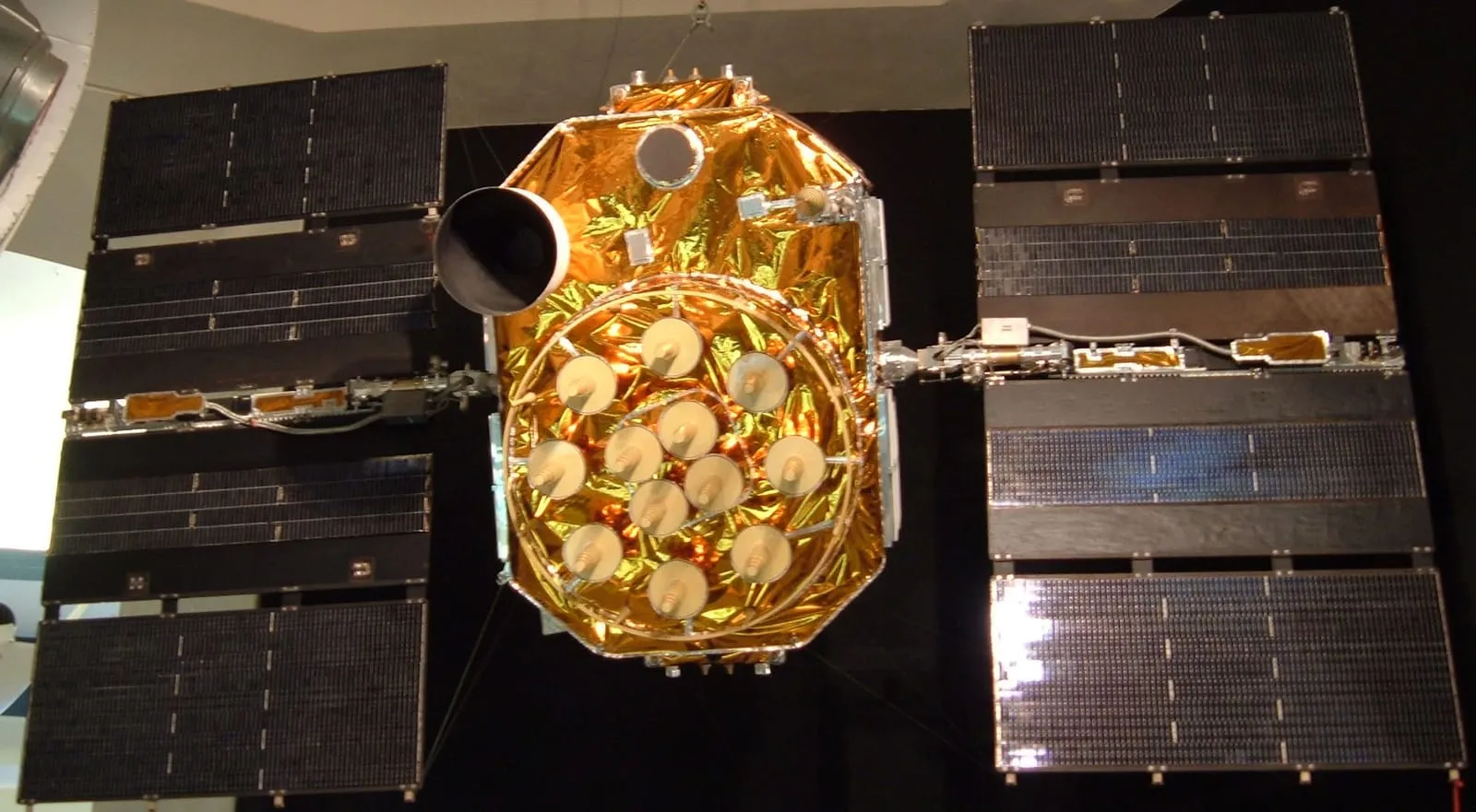
GPS (Global Positioning System) is a space-based radio navigation system. GPS consists of 31 satellites orbiting about 20,200 kilometres above the Earth. Some of the satellites are in active use and the rest are kept as spares.
The satellites circle the Earth twice a day. The orbits are arranged so that at least four satellites can be seen from almost anywhere on Earth at the same time. GPS’s standard service is available to everyone, continuously and free of charge, worldwide.
What does GPS stand for? GPS and GNSS
GPS is short for Global Positioning System. GNSS is short for Global Navigation Satellite Systems; the US GPS is one of these systems. There are GNSS systems other than GPS, for example Russia’s GLONASS and Europe’s Galileo constellation.
How is the position calculated?
The satellites continuously broadcast signals containing their own time and their positions above the Earth. A receiver in your mobile device measures the time signals arriving from the satellites against its own built-in clock. Several satellites send signals to the Earth at the speed of light, and your device receives them at slightly different times, depending on how far away each satellite is. From these time differences, the differences in each satellite’s distance are calculated and the position is determined.
Because it knows the speed of light and the moments the signals left and arrived, the device can calculate how far away each satellite is. This lets the device determine your longitude, latitude and altitude. At least four satellites are needed to determine your position; more is better.
Each of these satellites carries several atomic clocks. They keep time extremely precisely (to within a three-billionth of a second) and are regularly corrected by even more accurate atomic clocks on the ground. The clocks must be synchronised, because accurate time is the basis of GPS positioning and navigation services.
How accurate is it?
Today’s GPS is accurate enough to find your position to within about 4.9 metres. Modern phones with advanced electronics, which use extra signals and process the data afterwards, can improve GPS accuracy even further. After the device has calculated your latitude, longitude and altitude, it can place your position on a detailed road map prepared by the company that develops the software you use.
Where is GPS used?
GPS is also used in fields such as land surveying, search and rescue missions and cargo tracking. With atomic clocks visible from every part of the globe, GPS can also compare precise time and frequency signals across long distances. Traders in the financial market use GPS to time and timestamp their transactions.
GPS also serves as a remote-sensing instrument for atmospheric and ionospheric science, geodesy and geodynamics. Its applications range from monitoring sea levels and glacier melt to measuring the Earth’s gravity field.
A short history
The roots of GPS go back to the Sputnik era: scientists could track the satellite from shifts in its radio signal known as the Doppler effect. This idea became the basis of modern GPS. The first NAVSTAR satellite was launched in 1978, and the 24-satellite system became fully operational in 1993.
Test yourself
Three questions from the article. Pick an answer to find out.
Question 1 of 3
How many satellites are needed at minimum to determine your position?
At least four satellites are needed to determine your position; more is better. Source: National Institute of Standards and Technology (NIST)
Show answer
Right answer: At least four
At least four satellites are needed to determine your position; more is better. Source: National Institute of Standards and Technology (NIST)
Question 2 of 3
How many times a day do GPS satellites go round our planet?
The satellites go round the planet twice a day. Source: National Institute of Standards and Technology (NIST)
Show answer
Right answer: Twice a day
The satellites go round the planet twice a day. Source: National Institute of Standards and Technology (NIST)
Question 3 of 3
In which year was the first NAVSTAR satellite launched?
The first NAVSTAR satellite was launched in 1978, and the 24-satellite system became fully operational in 1993. Source: NASA
Show answer
Right answer: 1978
The first NAVSTAR satellite was launched in 1978, and the 24-satellite system became fully operational in 1993. Source: NASA