Why do time zones exist?
When every town kept its own time
Before the railways, towns and cities set their clocks by local noon, the moment the Sun stood highest. Before time zones were set up in 1883, North America had more than 144 local times. The clock differences between neighbouring towns did not matter while getting from one to another took days.
Once the railways spread, fast travel became possible, and passengers could sometimes arrive at a local time earlier than the local time at which they had left. With no common standard, timetables were hard to arrange, which led to missed connections and collisions.
Why did the railways want a standard time?
In 1849, the railways of New England ran on a crowd of time standards: Boston time, Worcester time, Springfield time. As trains and clocks multiplied, accidents became more frequent, with 97 train wrecks between 1831 and 1853. A time signal from the Harvard College Observatory created, in effect, America’s first time zone, and it served for 43 years from 1849. The first voluntary time agreement between railways became compulsory after an accident near Pawtucket in 1853. The telegraph helped a single standard time to spread.
How was the world divided into 24 zones?
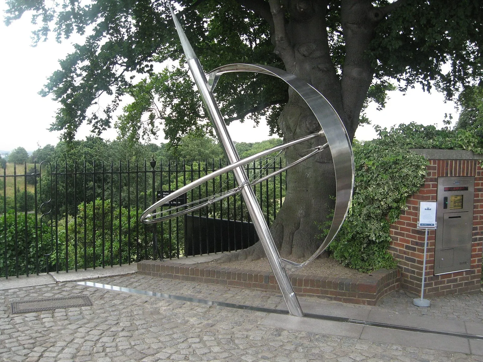
In the late nineteenth century, different countries used different meridians for longitude, and the Greenwich meridian was the most popular of them. In the 1840s a single railway standard time grew up for England, Scotland and Wales, replacing local times. The Royal Observatory at Greenwich began sending out the time by telegraph in 1852, and by 1855 most of England was using Greenwich time. Greenwich Mean Time (GMT) later became an important, widely recognised time reference for the world. Shipping stood to gain a great deal from fixing one prime meridian. The matter was settled at a conference in Washington in 1884, which adopted the meridian through Greenwich as the starting line.
With 24 hours in a day and 360 degrees of longitude around the Earth, the world’s 24 time zones must average 15 degrees in width. Zone boundaries are not straight, because they have been bent to suit local people’s convenience and wishes.
In 1876, the Canadian railway engineer Sandford Fleming missed a train. His first idea was not to split regions into time zones but to put the timetable on a 24-hour clock. Later he proposed dividing the world into 24 local time zones, each spanning 15 degrees of longitude and one hour apart from its neighbour. In the US, the standard time system became official by an act of Congress in March 1918.
Atomic clocks and UTC
When very precise atomic clocks arrived, scientists realised that timekeeping based on the Earth’s motion was not good enough. On 1 January 1972, the new Coordinated Universal Time (UTC) came into force around the world. UTC runs at the pace of atomic clocks, and when atomic time and Earth-based time drift close to one second apart, UTC is adjusted by one second (a leap second).
Why aren’t time zones tidy?
In theory the world should be split into 24 equal time zones, each an hour apart from the one before. In practice, zones are now far more irregular and sometimes look truly eccentric, because real-world political, geographical and social changes affect them. According to a news report from 2011, the number of time zones in Russia had fallen from 11 to nine.
The single time zone India uses today dates back to British rule, and many see it as an emblem of national unity. India stretches about 3,000 km from east to west and spans roughly 30 degrees of longitude, which amounts to a two-hour gap in mean solar time. In the east of India the Sun comes up about two hours before it does in the far west.
According to one economist’s research, a one-hour delay in sunset cuts children’s sleep by 30 minutes. Tea gardens in Assam have long set their clocks an hour ahead of Indian Standard Time.
Test yourself
Three questions from the article. Pick an answer to find out.
Question 1 of 3
Before the railways, what did towns and cities set their clocks by?
Before the railways, towns and cities kept time by local noon, the moment the Sun stood highest. Source: Smithsonian Magazine
Show answer
Right answer: Local noon, when the Sun is at its highest
Before the railways, towns and cities kept time by local noon, the moment the Sun stood highest. Source: Smithsonian Magazine
Question 2 of 3
In which year, and where, was the meridian through Greenwich adopted as the prime meridian at a conference?
The matter was settled at a conference in Washington in 1884, which adopted the Greenwich meridian as the starting line. Source: NIST
Show answer
Right answer: In Washington in 1884
The matter was settled at a conference in Washington in 1884, which adopted the Greenwich meridian as the starting line. Source: NIST
Question 3 of 3
About how big is the gap in mean solar time between the east and the west of India?
India stretches about 3,000 km from east to west, which amounts to a two-hour difference in mean solar time. Source: BBC
Show answer
Right answer: Two hours
India stretches about 3,000 km from east to west, which amounts to a two-hour difference in mean solar time. Source: BBC