What is El Niño and how does it form?
What are El Niño and La Niña?
El Niño and La Niña are patterns of Pacific Ocean climate that can influence the weather across the globe. Under normal conditions in the Pacific, the trade winds blow westward along the equator and carry warm water from South America towards Asia. To replace that warm water, cold water wells up from the depths, a process called upwelling.
El Niño and La Niña are two opposite climate patterns that disrupt these normal conditions. Scientists call these events the El Niño-Southern Oscillation (ENSO) cycle. By a wide margin, ENSO is the dominant feature of year-to-year climate variability.
The names and the yardstick
Today the name El Niño is used mainly for an unusual, sustained warming of sea surface temperature that happens every few years and is typically concentrated in the central-eastern equatorial Pacific. La Niña is the term adopted for periods when sea surface temperatures in the equatorial Pacific are cooler than normal. The Southern Oscillation is the name for changes in atmospheric pressure between the eastern and western tropical Pacific.
Roughly speaking, an El Niño or La Niña episode is under way when the anomaly in this region exceeds about 0.5 °C for several months running. El Niño means “little boy” in Spanish. Fishermen in South America first took note of spells of unusually warm Pacific water in the 1600s. The full name they used was El Niño de Navidad, because El Niño usually peaks around December.
How long do they last, and how often do they occur?
These events occur every two to seven years on average, but they do not follow a regular schedule. Episodes usually last nine to 12 months, but can sometimes go on for years. A typical episode may last three or four seasons and reaches its greatest size in the northern hemisphere winter. ENSO is a natural feature of the climate; indirect evidence, such as coral growth-rate measurements, shows it has been active for thousands of years.
How does El Niño form?
Normally the upper part of the equatorial Pacific Ocean holds a pool of relatively warm water in the west, with a shallower layer of relatively cool water in the east. This arrangement is kept in balance by the winds blowing across the surface from the east. An El Niño event can begin in several ways, usually with a slight rise in sea surface temperature in the central and eastern Pacific.
The warmer sea surface affects the winds in the atmosphere, and the winds in turn affect the upper ocean and the thermocline in a way that warms the surface still further. This is a positive feedback; when conditions are favourable, it gives rise to an El Niño event. Both kinds of event are self-limiting: equatorial sea surface temperatures slowly drift back to normal, and the event is over within a few months.
The ocean and the winds during El Niño
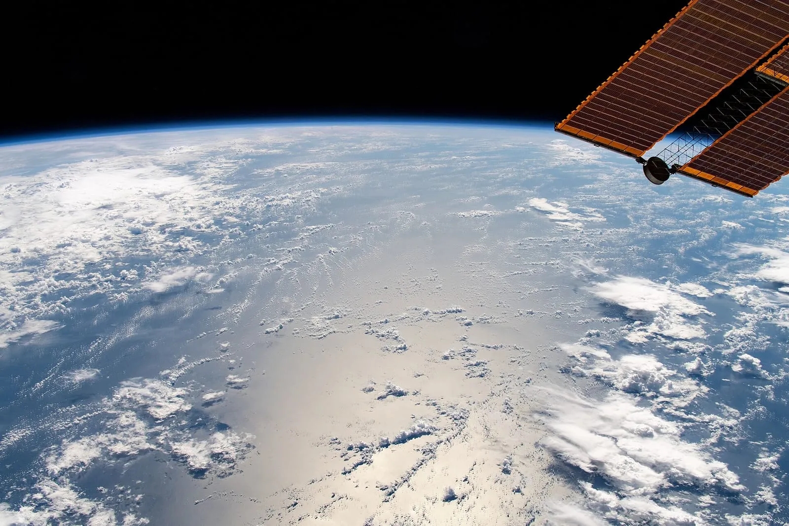
During El Niño the trade winds weaken, and warm water is pushed back east, towards the west coast of the American continents. Upwelling weakens or stops altogether. Without nutrients from the deep, there are fewer phytoplankton off the coast. Warmer waters can also draw tropical species, such as yellowtail and albacore tuna, into areas that are normally too cold for them.
The effect on weather
The warmer waters push the Pacific jet stream south of its neutral position. With that shift, the northern US and parts of Canada become drier and warmer than usual. In the US Gulf Coast and Southeast, on the other hand, these periods are wetter than usual and flooding has increased.
La Niña does the opposite
During La Niña events the trade winds are stronger than usual, even, and push more warm water towards Asia. Along the western coasts of the American continents, upwelling grows stronger and lifts cold, nutrient-rich water to the surface.
The effects are not certain; the odds shift
The typical historical effects of El Niño and La Niña can be calculated, but each event differs in details such as timing and size. The usual response to El Niño or La Niña should not be treated as inevitable. These events are better seen as factors that shift the odds in favour of the usual response. One key feature of the ENSO cycle is that its development can be predicted several months in advance.
Test yourself
Three questions from the article. Pick an answer to find out.
Question 1 of 3
Under normal conditions in the Pacific, which way do the trade winds blow along the equator?
Under normal conditions the trade winds blow westward along the equator and carry warm water from South America towards Asia. Source: NOAA
Show answer
Right answer: Westward, carrying warm water from South America towards Asia
Under normal conditions the trade winds blow westward along the equator and carry warm water from South America towards Asia. Source: NOAA
Question 2 of 3
What place does ENSO have in year-to-year climate variability?
By a wide margin, ENSO is the dominant feature of year-to-year climate variability. Source: Met Office
Show answer
Right answer: It is the clearly dominant feature
By a wide margin, ENSO is the dominant feature of year-to-year climate variability. Source: Met Office
Question 3 of 3
What happens to upwelling during El Niño?
During El Niño, upwelling either weakens or halts entirely. Source: NOAA
Show answer
Right answer: It weakens or stops altogether
During El Niño, upwelling either weakens or halts entirely. Source: NOAA